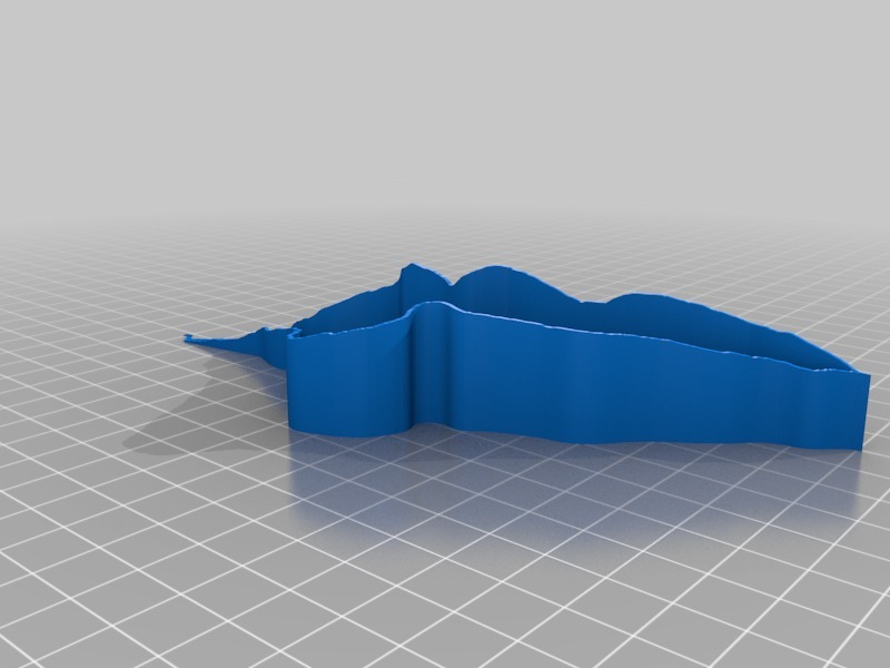
Route Map Model with Elevation Profile
 von anoved


1 / 4
Druckbare Dateien (1)
-
 stl
stlyescale.stl
689 Ko · 630 Downloads
Beschreibung
Test print of proof-of-concept output of code I'm writing to convert GPX tracks (exported from a GPS unit or mapping service) to printable course models of your running/hiking/cycling/etc routes.
Time lapse: https://www.youtube.com/watch?v=so5W8DpgZX8
Source route: http://www.mapmyrun.com/routes/view/459151112